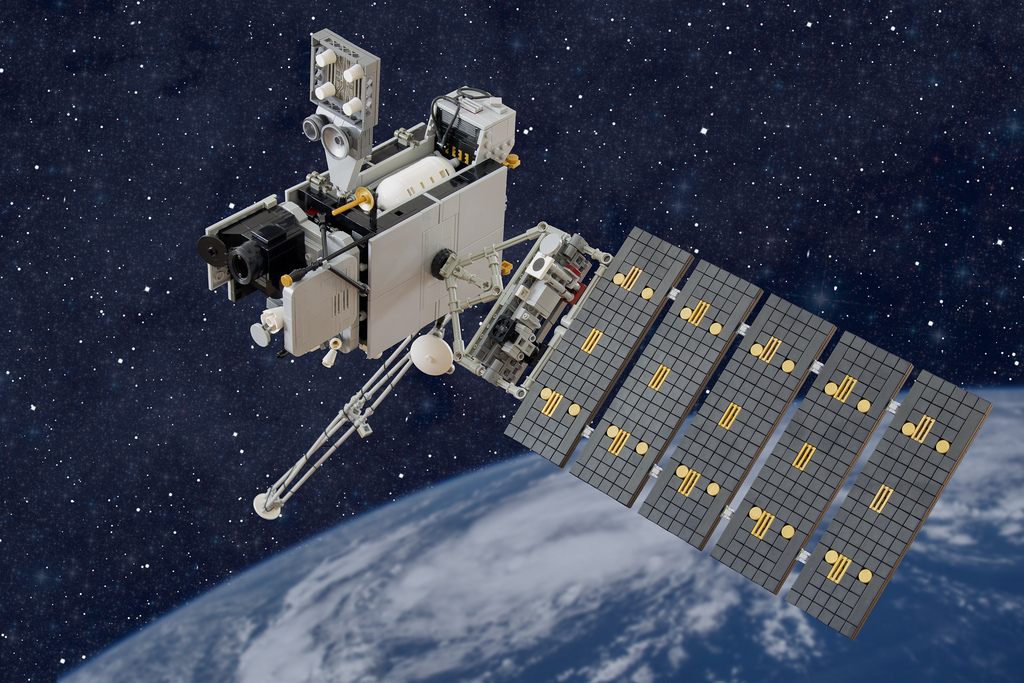
GOES-16: Next Gen Weather Forecasting Satellite System started sending Images
In the times when the climatic condition of places across the entire globe has become more and more unpredictable, the susceptibility of human civilization towards the various natural disasters like floods, storms etc have definitely risen. And thus, the cost of disaster mitigation, as well as the loss of life and property has definitely heightened.
GOES-16, NASA’s latest advancement in the weather forecasting satellite system has been one big step towards the weather forecasting approach being in place right now. It was launched in the November of 2016 and the satellite has started sending pictures in Jan 2017. What is certainly one of the enhanced capabilities of the new satellite system is the fact that has three times the spectral channels that capture images with manifold increase in picture resolution as compared to its predecessors.
This directly translates to the system being capable of differentiating smoke, ash, clouds and ice. The practical implications such a development is immense. This not only ensures that the weather forecasts and the early warning systems for flood and storms not only gets more accurate but also the warning system can be rigged in such a manner that the disaster preparedness could be hugely improved. So far, such an exact model of weather prediction and flood detection system had not come to practice.
Steve Goodman, a senior scientist working on the GOES-16 project says,” Now we will be able to figure out the cloud evolution processes better and validate whether we’ve got these weather and climate models right”. Even though the study of the climate conditions, in the long run, would also benefit from the system, the monitoring system is what has caught the federal funding. The GOES-S, west coast monitoring partner would be launched in 2018 as a step towards strengthening the flood and disaster forecasting system.


