How Do Hurricanes Form, and Why Are They Getting Stronger?
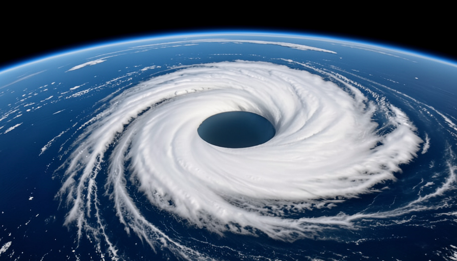
From space, a hurricane looks almost peaceful, a slow white pinwheel turning over the sea. On the ground it is one of the most destructive forces on Earth. The gap between those two views is a story about warm water, rising air, and a planet that is quietly loading the dice.
Hurricanes are, at heart, gigantic heat engines. They take warmth stored in tropical oceans and convert it into wind and rain on a staggering scale. Understanding how they build that engine explains both why they form where they do and why, as the oceans warm, the worst of them are getting worse.
In brief
A hurricane forms over warm ocean water, at least about 80 degrees Fahrenheit, when moist air rises, condenses into towering storm clouds, and releases heat that powers the system. The Earth’s rotation sets it spinning around a calm center called the eye. As oceans warm, storms have more fuel, and the number rapidly intensifying into major hurricanes has been climbing.
The ingredients a hurricane needs
A hurricane cannot form just anywhere. It needs a specific recipe, and if any ingredient is missing, the storm falls apart. The first and most important is warm ocean water. As NOAA explains, the sea surface generally needs to be at least around 80 degrees Fahrenheit, and warm well below the surface too, to supply enough heat and moisture.
The other ingredients are a deep layer of humid air, a pre-existing weak disturbance to get things going, and light winds high up. Strong high-altitude winds, known as wind shear, tear a budding storm apart, so hurricanes need calm conditions aloft to organize. Finally, the planet’s spin matters, which is why hurricanes never form right on the equator, where that spin has no twisting effect. For more on the forces shaping our climate, browse SciExaminer’s Environment section.
How a hurricane actually forms
Once the ingredients line up, the engine starts. Warm seawater evaporates and rises as moist air. As that air climbs and cools, the water vapor condenses back into liquid, forming huge thunderclouds and releasing heat in the process. That released heat warms the surrounding air, making it rise faster, which pulls in more warm ocean air behind it. The cycle feeds itself.
As the air rushes inward and upward, the Earth’s rotation, through what is called the Coriolis effect, bends it into a spin. Pressure at the center drops, winds accelerate, and a cluster of storms organizes into a rotating system. At the middle sits the eye, a patch of calm, clear, sinking air. Around it stands the eyewall, a ring of the fiercest winds and heaviest rain, wrapped by long spiral rain bands reaching out for hundreds of miles.
How we measure their strength
Meteorologists rank hurricanes on the Saffir-Simpson scale, which runs from Category 1 to Category 5 based on sustained wind speed. A Category 1 brings dangerous winds, while a Category 5, with winds above 157 miles per hour, causes catastrophic damage. Anything Category 3 or higher is labeled a major hurricane.
The name changes with geography, though the storm is the same. We call them hurricanes in the Atlantic and eastern Pacific, typhoons in the western Pacific, and cyclones in the Indian Ocean and around Australia. One important caveat is that the category measures wind alone. Some of the deadliest storms cause their worst damage through water, in the form of storm surge and inland flooding, which the number on the scale does not capture.
Why they’re getting stronger
Here the science is increasingly clear. A hurricane runs on ocean heat, and the oceans have been warming, which means storms have more fuel to draw on. Warmer water does not necessarily create more hurricanes, but it tilts the odds toward stronger ones.
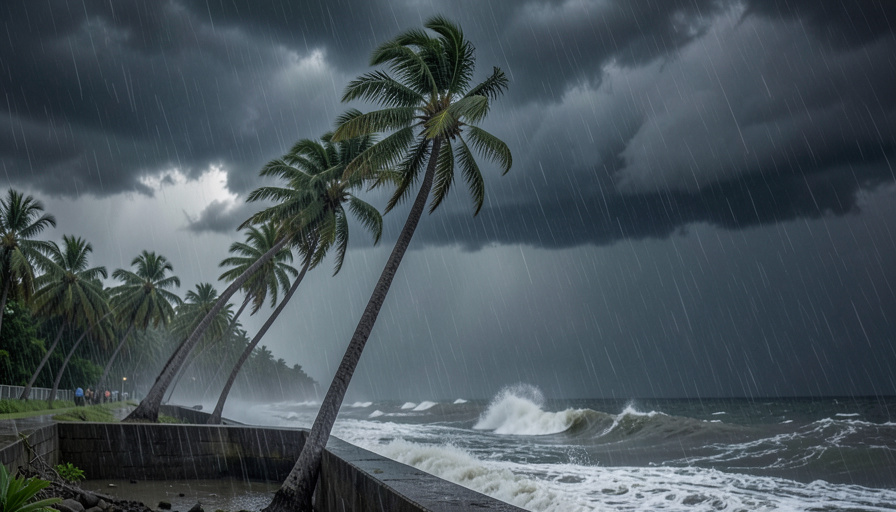
The clearest sign is rapid intensification, when a storm’s winds jump dramatically in a short time, sometimes leaping from a modest storm to a monster in a day. As National Geographic reports, this behavior is becoming more common in the warming Atlantic, and the count of storms that rapidly strengthen into major hurricanes has roughly doubled in recent decades. Warmer air also holds more moisture, so storms drop heavier rain, and rising seas make each storm surge reach farther inland. The US Environmental Protection Agency tracks these intensity trends as indicators of a changing climate.
How to stay ahead of one
The science is fascinating, but if a hurricane is heading your way, the only thing that matters is preparation. A few steps make the difference.
- Know whether you live in an evacuation zone, and learn your local routes before a storm is ever named.
- Understand the terms. A watch means conditions are possible within 48 hours, while a warning means they are expected within 36 hours and it is time to act.
- Keep a basic kit ready, with water, non-perishable food, medications, flashlights, and batteries for several days.
- Take rapid intensification seriously, since a storm can strengthen far faster than older forecasts once suggested.
- If officials tell you to evacuate, go early, because roads clog quickly and water rises fast.
The storm you can see coming is far less dangerous than the one you underestimate.
What to know
- Hurricanes form over warm ocean water, at least about 80 degrees Fahrenheit.
- Rising moist air condenses and releases heat, powering the storm like an engine.
- The eye is the calm center, ringed by the eyewall’s strongest winds.
- The Saffir-Simpson scale rates wind, but water often causes the deadliest damage.
- Warming oceans are making rapid intensification and extreme storms more common.
Frequently asked questions
How do hurricanes form?
They form over warm ocean water when moist air rises, cools, and condenses into storm clouds, releasing heat that powers the system. The Earth’s rotation sets it spinning around a low-pressure center, and if winds high up stay calm, the storm organizes and strengthens.
What is the eye of a hurricane?
The eye is the calm, clear center of the storm, where air is sinking and winds are light. It is surrounded by the eyewall, a ring of the most intense winds and heaviest rain in the entire hurricane.
Why do hurricanes need warm water?
Warm ocean water, generally at least about 80 degrees Fahrenheit, supplies the heat and moisture that fuel the storm. As warm water evaporates and the vapor condenses higher up, it releases energy that keeps the hurricane running, which is why storms weaken over land or cool water.
Are hurricanes getting stronger because of climate change?
Evidence indicates that warming oceans are making the strongest hurricanes more intense and rapid intensification more common. Warmer air also carries more moisture, so storms produce heavier rainfall, and higher sea levels worsen storm surge.
What is the difference between a hurricane, typhoon, and cyclone?
They are the same type of storm with different regional names. It is called a hurricane in the Atlantic and eastern Pacific, a typhoon in the western Pacific, and a cyclone in the Indian Ocean and near Australia.
What to do next
A hurricane is the planet balancing its books, moving heat from the tropical ocean into the atmosphere with brutal efficiency. Knowing how one is built takes some of the mystery out of the maps and cones you see each storm season, and it makes the warnings easier to trust. As the oceans keep warming, those warnings will matter more, so the practical move is simple: learn your risk, keep a plan, and treat a strengthening storm with the respect it has earned. For more on the science behind the weather, the Science section digs deeper.

Related Posts
What Is the Jet Stream, and Why It Matters
What Is El Niño, and How Does It Work?