What Is the Jet Stream, and Why It Matters
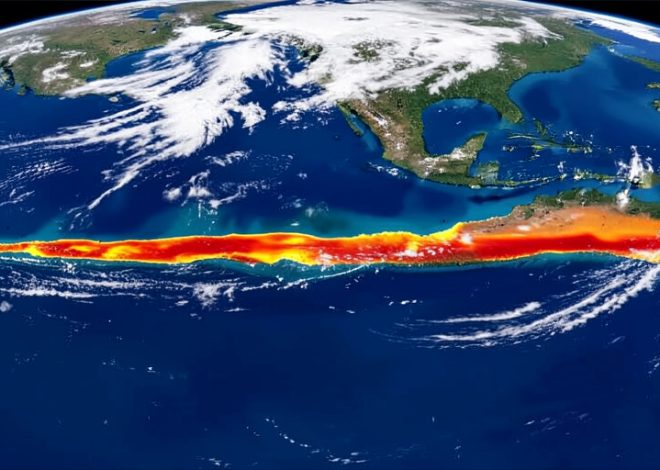
Miles above your head, higher than almost any cloud, a ribbon of wind is tearing around the planet at speeds that would strip the leaves off a tree. You never feel it directly, yet it quietly decides whether your weekend is soaked or sunny, whether a cold snap grips your city, and whether the flight home lands early or late. This is the jet stream, one of the most powerful features of the atmosphere.
For something so influential, the jet stream is rarely explained clearly. It is often mentioned on weather forecasts as a wavy line on a map, with little sense of what it actually is or why it matters so much. So here is the plain version: what the jet stream is, how it forms, and why meteorologists watch it so closely.
In brief
The jet stream is a band of very strong winds high in the atmosphere, blowing generally from west to east around the globe. It forms where cold polar air meets warmer air from lower latitudes, and the sharper that temperature contrast, the faster it blows. It steers weather systems and storms across continents, so its position and shape largely decide the weather you get. It also has a big effect on flights, giving eastbound planes a helpful push.
What the jet stream actually is
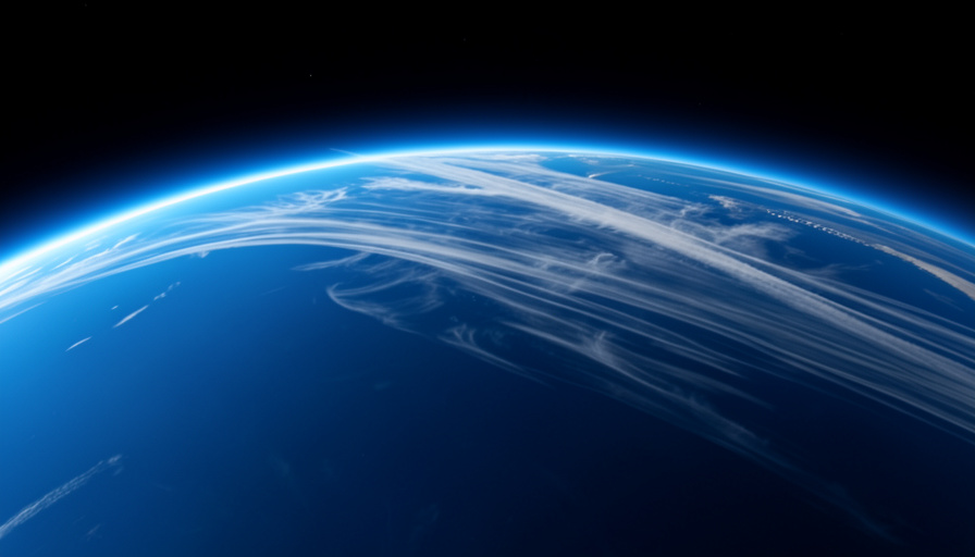
A jet stream is a narrow band of strong wind found high in the atmosphere, in the upper part of the layer we live in called the troposphere. It sits roughly five to nine miles above the ground, around the altitude where airliners cruise, and it flows in a generally west-to-east direction around the planet.
These are not gentle breezes. As NOAA’s SciJinks notes, jet streams move at about 110 miles per hour on average and can exceed 275 miles per hour when conditions are extreme. They are like fast, invisible rivers of air, meandering around the globe in ever-shifting loops. For more on the forces shaping our weather, browse SciExaminer’s Environment section.
Why it forms
The jet stream exists because the Sun heats the Earth unevenly. The equator receives far more direct sunlight than the poles, so the planet is left with warm air near the middle and cold air at the top and bottom. Where a mass of warm air pushes up against a mass of cold air, a sharp temperature boundary forms.
That boundary is where the jet stream lives. As the National Oceanic and Atmospheric Administration explains, the greater the temperature difference between the two air masses, the faster the winds blow. The rotation of the Earth then bends this flow into its familiar west-to-east track. This is also why the jet stream is stronger in winter, when the contrast between frigid polar air and milder air to the south is at its sharpest.
The polar and subtropical jets
There is more than one jet stream. Each hemisphere has two main ones, giving four in total around the planet, and they sit at different latitudes depending on the temperature boundaries they follow.
- The polar jet runs at roughly 50 to 60 degrees latitude, where cold polar air meets milder mid-latitude air. It is the stronger of the two and the one most tied to day-to-day weather.
- The subtropical jet sits nearer 30 degrees latitude, higher up and generally weaker, formed by different circulation patterns closer to the tropics.
When forecasters talk about the jet stream affecting your weather, they usually mean the polar jet, because it is the one that swings north and south over populated regions and drags weather along with it.
How it steers our weather
The jet stream does not blow in a straight line. It meanders like a winding river, bulging north in some places and dipping south in others, and those loops are what shape the weather beneath them. Storm systems tend to travel along the jet, so its path acts like a set of railway tracks for weather.
Where the jet dips southward, it drags cold air down from the poles, which is how a sudden cold snap arrives. Where it bulges northward, warm air pushes up from lower latitudes. When one of these loops gets stuck in place, a pattern called blocking, the same weather, whether a heatwave or a run of storms, can linger for days or weeks. So the exact shape of the jet on a given week is one of the biggest clues to what the sky will do.
Why it matters for flights
The jet stream is more than a weather story. Because airliners cruise at the same heights where it flows, pilots pay close attention to it, and passengers feel the results without realizing why.
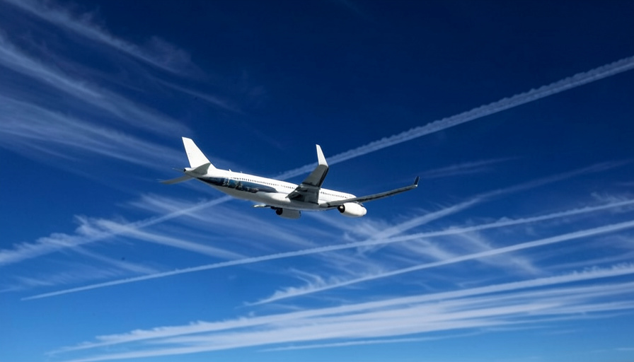
As the UK Met Office points out, a plane flying west to east can ride the jet stream like a tailwind, arriving noticeably sooner and burning less fuel, while a plane heading east to west has to fight it as a headwind. That is why a transatlantic flight in one direction can take meaningfully longer than the same trip in reverse. The jet can also stir up sudden clear-air turbulence where its winds change speed abruptly, so flight planners route around its roughest edges. A river of wind you never see, it turns out, quietly shapes both the weather and the journey home.
What matters most
- The jet stream is a band of strong winds high in the atmosphere, blowing generally west to east.
- It forms where cold and warm air masses meet, and a bigger temperature contrast makes it faster.
- There are four main jets, with the polar jet most responsible for everyday weather.
- Its meandering loops steer storms and pull cold or warm air across regions.
- It speeds up eastbound flights and slows westbound ones, and can cause turbulence.
Frequently asked questions
What is the jet stream in simple terms?
It is a narrow band of very fast wind high in the atmosphere, roughly five to nine miles up, that blows around the planet from west to east. It forms along the boundary between cold and warm air and plays a major role in steering weather systems.
How fast is the jet stream?
On average the jet stream blows at around 110 miles per hour, but it can exceed 275 miles per hour when the temperature contrast between air masses is very strong. It is generally faster in winter, when that contrast is sharpest.
How does the jet stream affect the weather?
Storm systems tend to follow the jet stream, so its position and shape steer the weather. Where it dips south it brings cold air, where it bulges north it brings warm air, and when a loop gets stuck, the same weather can persist for a long time.
Why is the jet stream important for flights?
Airliners fly at the jet stream’s altitude, so a plane traveling west to east gets a tailwind that saves time and fuel, while one heading east to west faces a slowing headwind. The jet can also cause clear-air turbulence, which pilots try to avoid.
How many jet streams are there?
There are four main jet streams, two in each hemisphere: a polar jet at around 50 to 60 degrees latitude and a subtropical jet nearer 30 degrees. The polar jet is stronger and has the biggest influence on everyday weather.
Final word
The jet stream is a reminder that the most important parts of the weather often happen far out of sight. A fast, winding current of air, born from the simple fact that the poles are colder than the tropics, ends up steering storms across whole continents and shaping the flights that cross them. Next time a forecaster traces a wavy line across the map, you will know you are looking at a genuine river in the sky, and one worth understanding. For more on how the planet works, the Science section digs deeper.